Embracing the Future: GIS Innovations and Trends in 2024
GIS
7/1/20242 min read
Embracing the Future: GIS Innovations and Trends in 2024
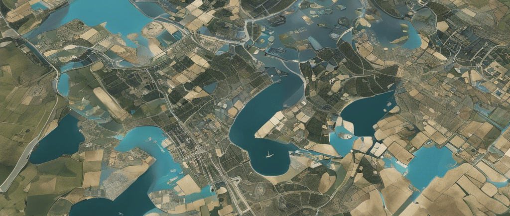
As we navigate through 2024, the landscape of Geographic Information Systems (GIS) continues to evolve at a rapid pace. This year has so far seen a flurry of activity and progress that underscores the dynamic nature of this field. From enhanced storytelling capabilities to the integration of advanced analytics, GIS is not just mapping our world but also shaping the way we interact with it.
1. Storytelling with Maps
ArcGIS StoryMaps has celebrated its 200th release, marking a significant milestone in the realm of digital storytelling. The platform has introduced new features such as the ability to add tables and code to briefings, empowering users to communicate complex information in an accessible format. This enhancement is particularly useful for summarizing data and providing updates in a format that is both engaging and informative.
2. Field Data Collection and Analysis
The Esri mobile app ecosystem has been streamlined to optimize field data collection processes. With the advent of spring, GIS professionals are equipped with the right tools to declutter their workflows and focus on efficient data gathering. This is crucial for sectors such as environmental management, where timely and accurate data collection can significantly impact decision-making.
3. Blockchain in GIS
The potential of blockchain technology in securing geospatial data transactions has been a topic of discussion. As GIS applications become more interconnected and reliant on real-time data, the integrity and security of this data are paramount. Blockchain offers a promising solution to enhance trust and transparency in the exchange of geospatial information.
4. GIS in Community Planning
The Town of Oakville’s success story with GIS-based data hubs exemplifies the role of GIS in urban planning and community development. By leveraging GIS to gather and analyze housing data, the town is preparing for a future of growth and change. This case study serves as an inspiration for other communities looking to modernize their planning processes.
5. GIS for Environmental Protection
The integration of GIS in environmental protection efforts is highlighted by the British Columbia Ministry of Environment’s use of GIS to manage and conserve natural resources. The ability to visualize and monitor air and water quality data spatially provides a powerful tool for environmental agencies to fulfill their mandates more effectively.
As we look ahead, the advancements in GIS promise to bring even more innovative solutions to the fore. The fusion of GIS with other technologies like AI, IoT, and blockchain is not just enhancing existing applications but also opening up new possibilities. The future of GIS is bright, and 2024 has so far been a testament to the ongoing journey of discovery and innovation in this field.
These insights reflect the current state of GIS as we continue to push the boundaries of what is possible with geospatial technology. For anyone keen on keeping up with the latest GIS trends, these developments are a clear indication of the exciting times ahead for the industry.